


Larimer 441, Larimer County, Colorado
About
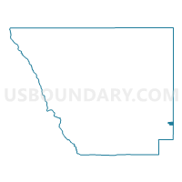
Outline

Summary
| Unique Area Identifier | 548816 |
| Name | Larimer 441 |
| County | Larimer County |
| State | Colorado |
| Area (square miles) | 1.82 |
| Land Area (square miles) | 1.82 |
| Water Area (square miles) | 0.00 |
| % of Land Area | 100.00 |
| % of Water Area | 0.00 |
| Latitude of the Internal Point | 40.44413110 |
| Longtitude of the Internal Point | -104.96083620 |
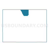
Maps

Graphs
Select a template below for downloading or customizing gragh for Larimer 441, Larimer County, Colorado


Neighbors
Neighoring Voting District (by Name) Neighboring Voting District on the Map
- Larimer 439, Larimer County, CO
- Larimer 440, Larimer County, CO
- Larimer 504, Larimer County, CO
- Weld 121, Weld County, CO
- Weld 129, Weld County, CO
Top 10 Neighboring County Subdivision (by Population) Neighboring County Subdivision on the Map
Top 10 Neighboring Place (by Population) Neighboring Place on the Map
Top 10 Neighboring Unified School District (by Population) Neighboring Unified School District on the Map
Top 10 Neighboring State Legislative District Lower Chamber (by Population) Neighboring State Legislative District Lower Chamber on the Map
- State House District 48, CO (112,104)
- State House District 49, CO (83,740)
- State House District 51, CO (80,253)